Finally, I made it to Alaska. For some, it’s hard to believe that I had never made it to our northern most, largest and most remote state. After being up there for two weeks poking around, it was hard to think about leaving.
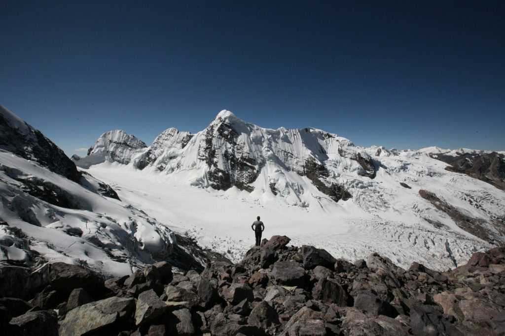
My first adventure was a bit impromptu. I drove the Steward Highway and found myself going on a day-hike along side of Exit Glacier. The notable point however being that I was carrying a backpack with overnight equipment. There was a rumor of a small storm shelter somewhere up there near the Harding Icefield. Nevertheless, I was prepared to camp in the snow or tundra or on the rocks if need be.
Just rounding the bend in the road and catching your first glimpse of the glacier is impressive. A huge tongue of white rests in the steep hold of rocky ridges on either side. The base of the glacier tapers to a gentle rounded point, constrained by the gray piles of lateral moraines. A cloudy gray river flows out from the blue cave and twists through the ever changing channels of the broad outwash field that resembles a broad riverbed. In a way, it was once a river bed, for a river of ice. The glacier is indeed flowing down, but the terminus is steadily moving closer and closer to its source. Along the road and the trail leading right to the toe of the glacier are year markers showing how far down the river valley the white tongue used to reach.
Click “Full Story” below or the title above to read the rest and see the video.
 Like || Tweet || More Photos || Purchase Photo
 Like || Tweet || More Photos || Purchase Photo
 Like || Tweet || More Photos || Purchase Photo