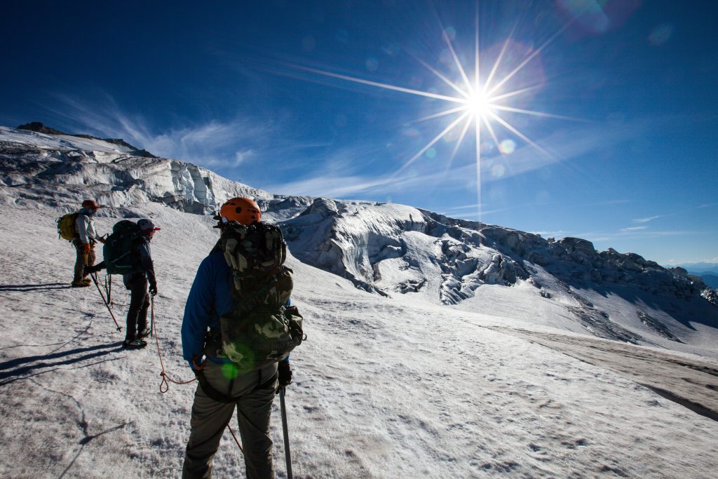
Cascade Summit August 22, 2016 When I got the invite to go back to the Pacific Northwest and climb Mt. Baker, I was ecstatic. I’ve done a bit of…
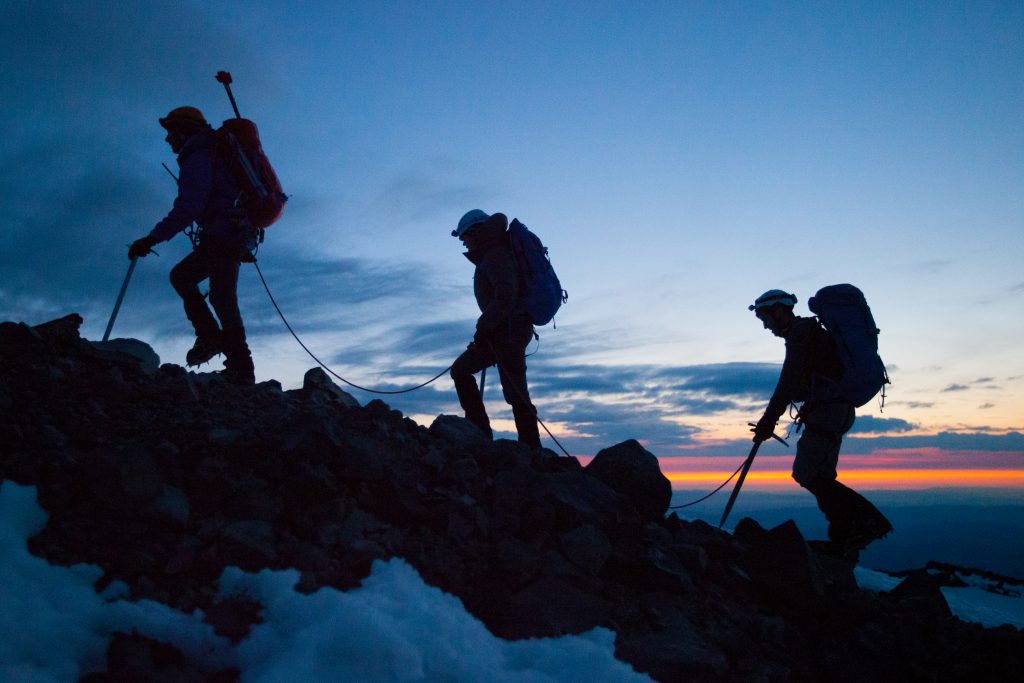
Around here… it’s Rainier! August 22, 2013 It was awesome to get back to the Great Pacific Northwest to climb Mt. Rainier again. This is my third summit of Rainier and…
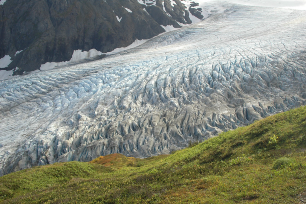
Exit Glacier September 22, 2008 An impromptu hike up and overnight campout along Exit Glacier on the Seward Peninsula.