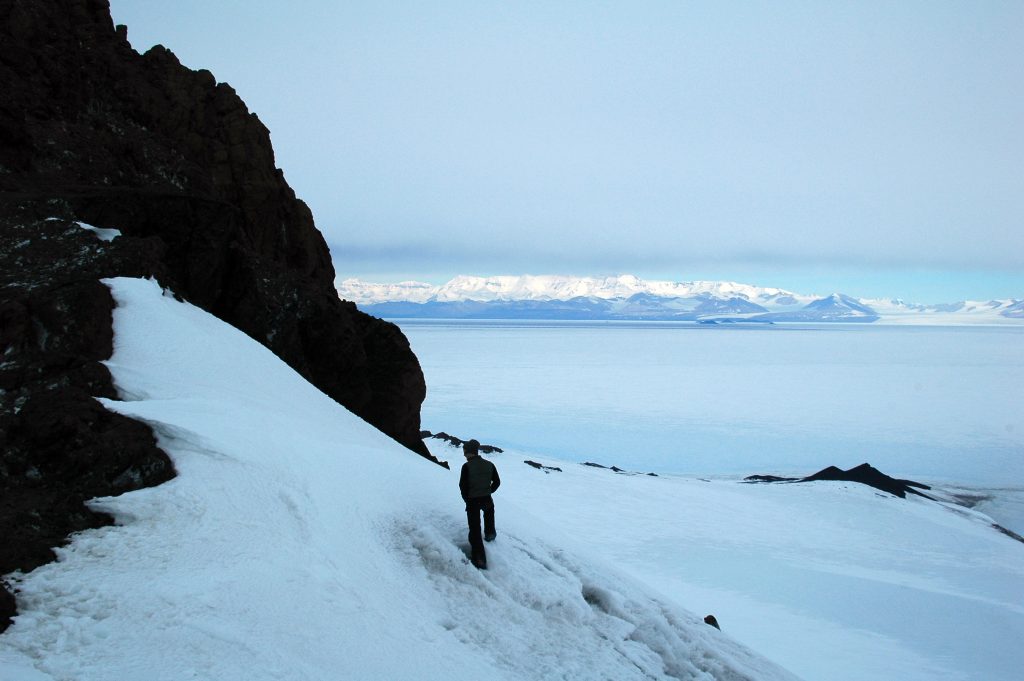
My second week was a short one… only five days as that’s how the sub schedule worked out. It really was too short. It looks like my next stint will be upwards to 7 or 8 days on the mountain. Perfect.
I hiked back up with 40 pounds of gear under clear blue skies and a light rustling of leaves from the gentle breeze stirring the mountain air. In my pack was the rest of my personal equipment, mostly winter clothing as I prepare for the temperatures to drop. But about ten pounds of it was fresh vegetables and fruits to sustain me. I’ve never been a big fan of the freeze dried backpacking meals, and they’re crazy expensive. I think I fed myself for the week spending about Twenty Dollars.
The next morning, I was up early, jotted down the weather and was off to visit the Mt. Washington Observatory. Mike Pelchat invited me via my evening radio call (check-in) to swing by. Well, swinging by is an all day event from Gray Knob to Mt. Washington. It’s six miles along the ridge of the Presidential range, and though there are some trail options to skirt the summits, I was keen to get to the tops.
The weather wasn’t quite the bright sunny day that shined the day before, which was fine as the cooler temperature made for a more comfortable hike. The overcast sky shed a soft light over the land, making contrasts for photography difficult to find, but even though my photos won’t show it, it was beautiful.
I worked my way up Gray Knob Trail to Edmonds Col at the base of Mt. Jefferson, then up and over the 5,716 foot peak and looked at the trail ahead and the trail behind. The wind was blowing a steady 15 kts, which cooled me quickly, so I didn’t spend much time there. I put my little wool gloves on and continued down to the saddle between Mt. Jefferson and Mt. Clay (which I guess people are trying to re-name Mt. Regan). Along the way is a relatively flat spot where mountain grasses have taken over amongst the boulders called Monticello Lawn.
I missed the loop trail to go over Mt. Clay, but found it on the way back. I passed a group that had started at the Highland Center at 2am and they were doing the whole 30 miles of the Presidential Range in one day. Friends of theirs had parked at the other end and were doing the same trip in the opposite direction. They must have had the key swap thing already sorted out, because I managed to see both groups, but they all managed to miss each other. Funny.
There was quite the stream of folks heading the opposite direction. Most of them had stayed at the Lake of the Clouds Hut, run by the AMC and were heading to Madison Spring Hut. All very friendly folks and all perfectly happy to pay the $80 a night and not have to carry any food or stoves.
Upon arriving at Mt. Washington, there was the usual flock of folks around the summit sign taking their hero shots. Most of them were dressed in casual jeans, nylon jumpers and sneakers. They were pretty proud of their walk from the cog train stop or from the summit parking lot not 50 yards away.
Mike, the manager of the Mt. Washington State Park and his wife Dianne were busy working at the information help desk when I strolled up and introduced myself. He then took me on the grand tour through the weather station, up in the tower and over to “Tip Top House,” the original hosting facility for the city elite back in the 1800’s. It was built mostly of the rock found on the summit and it was fascinating to step back in time, to imagine what it was like to get out of the dirty grimy city in the summer and come to the clean cool air on the summit of Mt. Washington.
After a hardy bowl of chili and a slice of pizza Mike treated me to from the summit cafeteria, I started my journey back home. This time over Mt. Clay and with a little hurry in my step to beat the forecasted rain. Back at Gray Knob, I did my rounds along the way, it felt great to get off my feet after the twelve mile trek.
The next day was a rest day working around the cabin, and the day after was an amazing adventure into the lowlands below King Ravine. I had originally intended to hike up into King Ravine, but I doddled too much with my camera in hand and had to abort. Instead I hiked the lower trails, some very narrow and rarely used. On one, I found a big pile of bear scat. It was cold, not fresh, but it still kept me on my toes. The leaves are starting to change and fall. One lonely Balsam Fir, usually found in higher elevations, was decorated like a Christmas Tree with all the yellow and red leaves that had fallen from the domination deciduous trees above it.
I worked my way back up the slope and was on the exposed Gray Knob Trail as the sun set in a fiery blaze with wisps of clouds framing it all. It is beautiful up here.

 Like || Tweet || More Photos || Purchase Photo

Comments